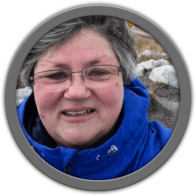
Barb Duffin is the Director of Cree Geomatics Department (CreeGeo) at Mushkegowuk Council in Timmins, ON. She has a B.A. (Geography & Fine Art), Cartographic Technology Diploma and a M.A. in Graphic Design. She has over 35 years of GIS experience in the fields of agriculture, forestry, municipal and land use planning.
Over the past fifteen years, Barb has worked with members of the Mushkegowuk First Nations to build their GIS capacity to assist with their responses to resource development concerns and document their traditional knowledge and oral history. Other projects include a K-12 GIS/Western Science educational program, information sharing HUB and running Camp Chikepak, a cultural/science camp for two weeks each August.
Away from the office, Barb enjoys travelling with her family and developing her skills as a watercolour artist.